paul stacey
master brummie
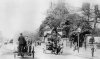
Great photo of an early horse bus Dennis, do not have clue where "The Tivoli", was or is, unless you mean the great park in the middle of Copenhagen, went with my wife and kids to that one loads of times.Paul
Great photo of an early horse bus Dennis, do not have clue where "The Tivoli", was or is, unless you mean the great park in the middle of Copenhagen, went with my wife and kids to that one loads of times.Paul

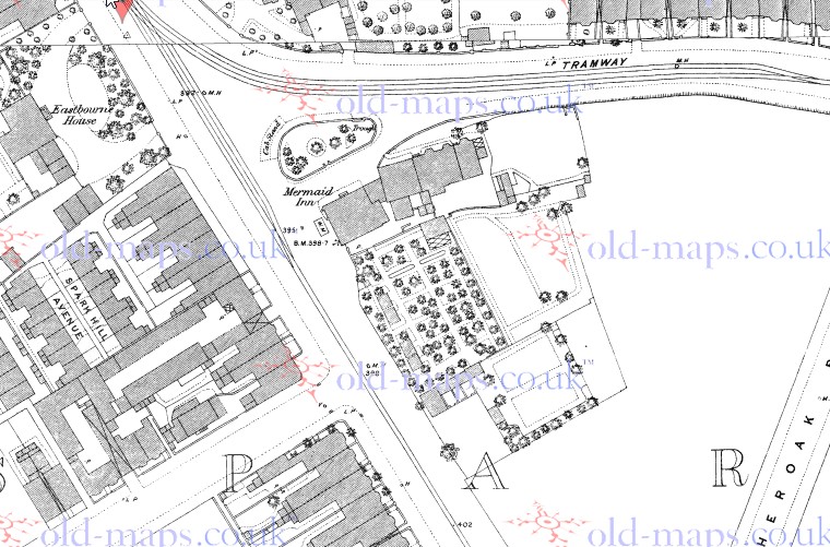
Phil, it does say that the Mermaid was rebuilt in the 1880s in my post. Were the Tivoli Gardens demolished in the 1880s or did they stay on until much later? Dave.Dave it was a little earlier than the 1950's, I believe it was back in the 1880's when they rebuilt the Mermaid Hotel, Dennis you are right about me being around then it was our company that won the contract to demolish the old Inn.
Dave it was a little earlier than the 1950's, I believe it was back in the 1880's when they rebuilt the Mermaid Hotel, Dennis you are right about me being around then it was our company that won the contract to demolish the old Inn.
Phil, it does say that the Mermaid was rebuilt in the 1880s in my post. Were the Tivoli Gardens demolished in the 1880s or did they stay on until much later? Dave.
It seems they were still there, and quite extensive by the look of it when this map (c1889 but probably surveyed 1886) was made
Super map mike...never realised what was there.....wonder if the Mermaid was a purpose built Inn or Coach stop, or a private residence converted..? From what Phil said it might have been a big house once?
It seems they were still there, and quite extensive by the look of it when this map (c1889 but probably surveyed 1886) was made.
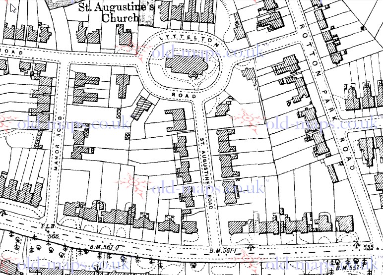
I understand that trams didn't run through Tyseley until 1916. As tracks are clearly shown on your map on the Warwick Rd. did trams run say to River Cole at Greet for a while?
I have a 1908 picture of the smithy opposite Stockfield Rd. and there are certainly no tram tracks. In 1898 Acocks Green was served by horse drawn 'buses
Phil a great photo. It looks like Laurel and Hardy on the left hand side. I wonder whereabout it is in Edgbaston.