paul stacey
master brummie
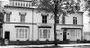
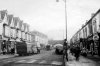
#4329, great photo, love the conductor, and a great "local" shop, even from my younger days, which sold everything. Thanks for posting. Paul
Have been through the Birmingham directories taking about one every 5 years from 1955 to 1921 and can find no Clarkson st in Birmingham. The electoral roll does not list one either . The nearest is Clark St, but that is ladywood.


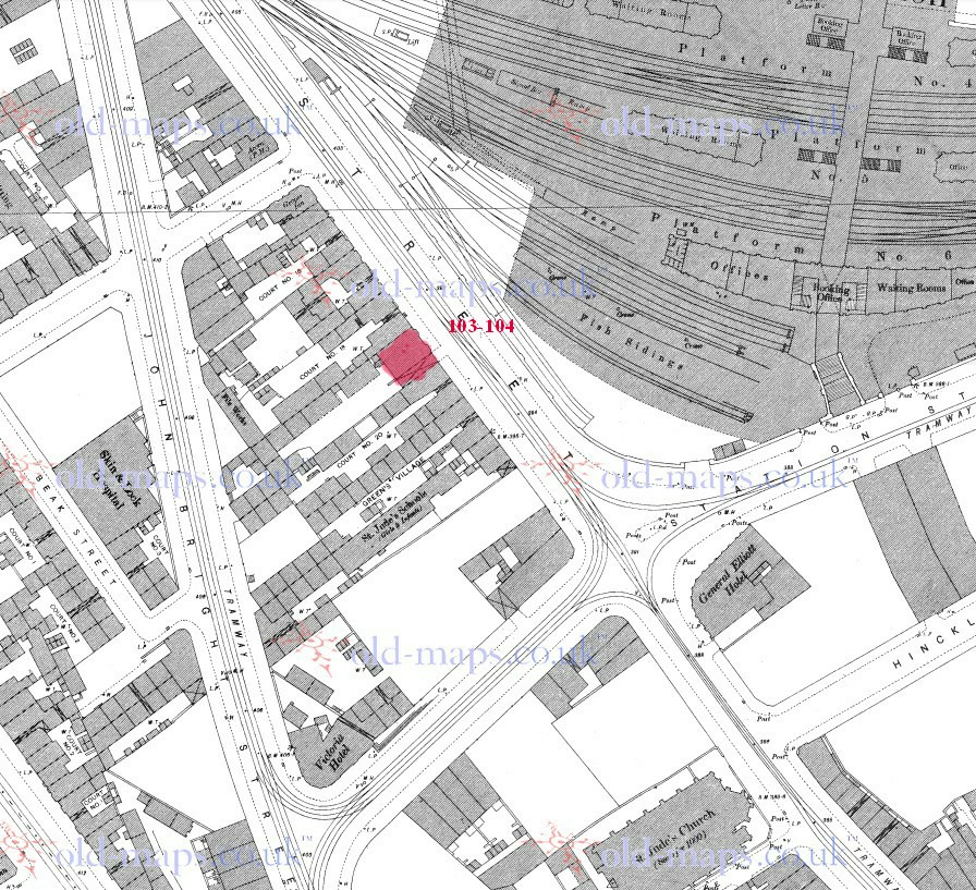
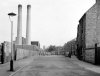
View attachment 96651View attachment 96650View attachment 96647Thanks for all your help folks Clarkson Street ran parallel with Dartmouth Street from Richard Street to Heneage Street as John said it seems to have been renamed and shortened in the 1939 map seems to be Adams Street The first map is 1880

thanks dennis...i would just add to that info off carl that only part of brewery st changed its name to cecil st...the other half of the street is still called brewery st...off newtown row
lyn
Yes lyn...it's where all us Willies were spawned!


An excuse to post a favourite photo....TIVOLI GARDENS.....does anyone NOT know where this was/is...?
View attachment 96720