guilbert53
master brummie
Here is an image of how the area looks today (see below for the 1889 map for comparison).
You can clearly see the railway lines (which run right across the modern image) and the canal (which run from top right to bottom middle) in the two maps.
As you can see a number of roads in the area have gone or been changed considerably.
Curzon Street runs right across the centre of the map, but has been "chopped off" at the left hand end in the modern map to make Eastside City Park. It is "chopped off" where the Woodman pub and the old Curzon St station are on the corner of Curzon Street and New Canal Street
Also of the 3 roads that run Northwards off Curzon Street in the top right of the old map, only one remains, Cardigan Street. All the new buildings in the top right are BCU (Birmingham City University) after their move from Perry Barr.
Also the two roads in the top left of the old map that go northwards off Curzon Street (Grosvenor St and Fox St) have also partly gone in the modern image. You can still drive down the Northern part of them (off Jennens Road) but cant access them by car off Curzon Street.
Also the left hand end of Banbury Street (bottom left in the old image) has also gone in the modern map. This is near the Eagle and Tun pub.
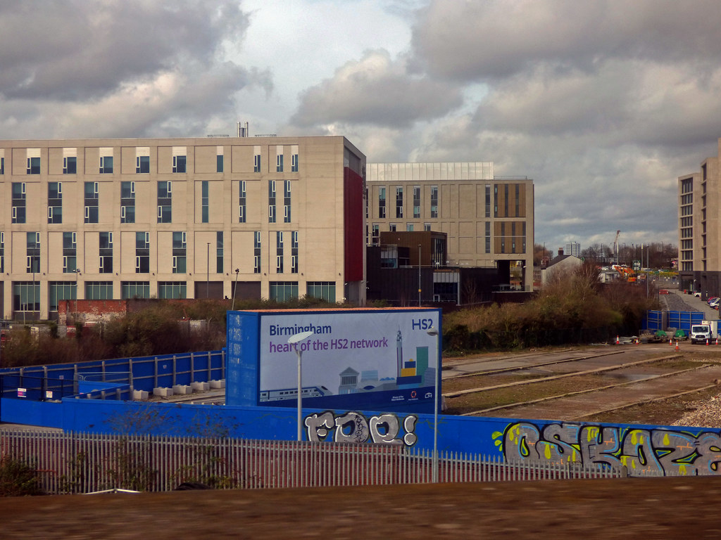
As I think most of you know, most of the area in the centre of the modern image (which looks like yellow sand / earth) will be the site of the new HS2 station.


Last edited:


