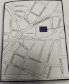
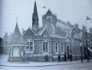
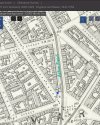
I am trying to understand the Map of Gosta Green looking at the University as it is now. This is a picture of fountain which the University have kept but moved location. Can anyone tell me the streets on this picture next to the library to enable me to see where it was originally and I can plot it .