Archie Harris
New Member
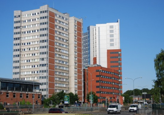
I’m a first year geography student undertaking research comparing and contrasting Brindley Place and Ladywood over the last 30 years, the topics I am specifically focusing on are :
Would any members be prepared to help me with a short questionnaire/interview and/or point me in the direction of any literature or people who could help me?
Any help you give me would be greatly appreciated and I would of course give you full credit in any information received in my final report.
Thank you Archie
- Is there a significant difference in house prices and quality between Brindley Place and Ladywood?
- Has there been a change in the individual demographic of Brindley Place and Ladywood over the past thirty years?
- Has there been an obvious shift in tenure of the chosen locations over the course of the last thirty years?
Would any members be prepared to help me with a short questionnaire/interview and/or point me in the direction of any literature or people who could help me?
Any help you give me would be greatly appreciated and I would of course give you full credit in any information received in my final report.
Thank you Archie