Dinger
master brummie
I was wrong.
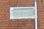
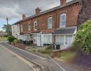
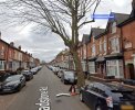
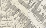
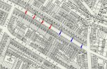
I found a later map showing the outline of the alleyways. The covered entrances only lead to the back of the gardens of the houses facing the street, so Inglewood Place, Frederick Place, Herbert Place and Oakfield Place refer to the blocks of 8 houses facing the street (the 4 red arrows on the map). The three alleyways on the eastern end of the street (blue arrows) lead to terraces of houses that are still there.
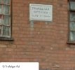
1. Bradgate Place
2. Milicent Place and Florence Place
3. Blenheim Place and Brunswick Place
4. Inglewood Place
5. Frederick place
6. Herbert Place
7. Oakfield place
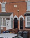
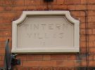
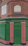
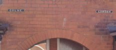
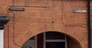
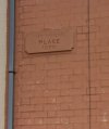
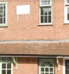
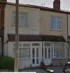
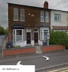
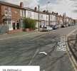
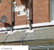
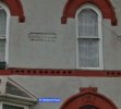
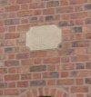
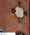
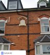
With that established, I can now see that the plaque on Number 153 Ombersley Road actually says "Brunswick Place" which matches with the plaque on No 155 on the other side of the alleyway which says "Blenheim Place". - So these do not indicate the names of those houses, but rather the name of the terrace of houses down the alleyway on that side.

Last edited:

