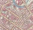
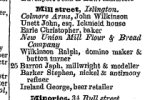
Looks like Nelson Street later became Sheepcote street comparing the 1837 map to the later Map I had been using. And the pink highlighted road I cant read is now Broad Street.Thank you so much. Yes that would be it.
-
Welcome to this forum . We are a worldwide group with a common interest in Birmingham and its history. While here, please follow a few simple rules. We ask that you respect other members, thank those who have helped you and please keep your contributions on-topic with the thread.
We do hope you enjoy your visit. BHF Admin Team
Esther Hudson
- Thread starter Lily_Mae
- Start date


