oldMohawk
gone but not forgotten
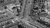
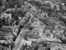
This 1948 aerial view in Edgbaston shows Harrison's Road running upward from bottom-left to it's junction with Richmond Hill Road. Someone on 'britainfromabove' identified a small building at the end of a garden as a 'WW2 Defence Post'.
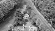
On a another close-up view from a slightly different angle a small round building can be seen.
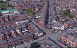
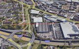
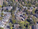
A matching modern aerial view shows the area today and some houses seen in 1948 are still there, some are not.
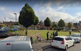
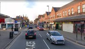
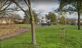
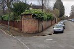
Down at street level the building can be seen - concrete roof - it is somewhat unusual. Does anyone know anything about it. Were there similar buildings in the large gardens of that area ? They would not be shown on maps in WW2.

On a another close-up view from a slightly different angle a small round building can be seen.

A matching modern aerial view shows the area today and some houses seen in 1948 are still there, some are not.

Down at street level the building can be seen - concrete roof - it is somewhat unusual. Does anyone know anything about it. Were there similar buildings in the large gardens of that area ? They would not be shown on maps in WW2.


