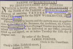
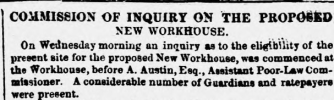
hi folks..long shot here but is there a map available to show us what was on the ground of the workhouse and infirmary before they were built..
thanks for any help
lyn
thanks for any help
lyn

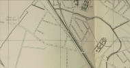

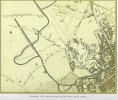
I've got quite a few - trouble is they all end before that bit of Dudley Road....Workhouse built in 1852 so Lyn needs a map before that date which will be tricky.

Likewise.I've got quite a few - trouble is they all end before that bit of Dudley Road....
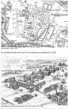
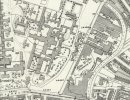
great info everyone..yes jan looking at your map i can see parade and summer row so going on from that i think that turnpike road to the left may have become spring hill and dudley road..i am just not sure if your map extends enough to take in the workhouse/infirmary ground

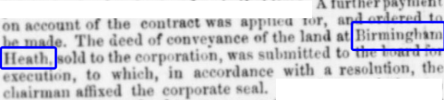
if we look at jans map we can see the canal bridge at what is now dudley road at taylors dock..then look at below st view showing the canal bridge which is further down from the site of the workhouse..so i dont think the workhouse site takes in birmingham heath..cant be certain though
 www.google.com