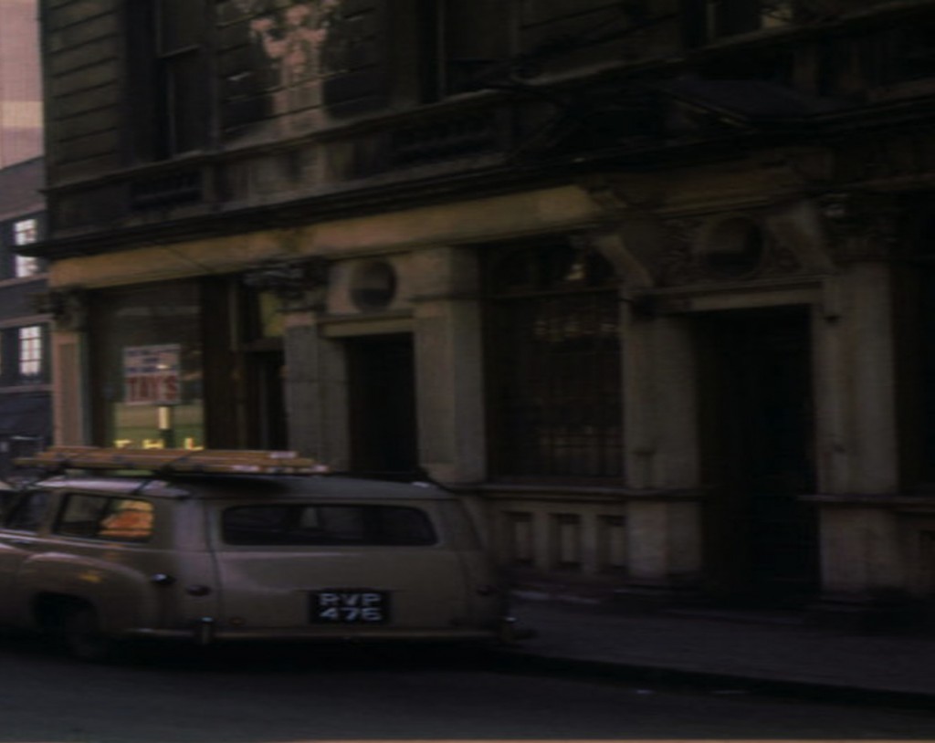
Yes, I have looked at that engraving often and wondered if it was in fact meant to be Peck Lane. I suspect that we will never know but intreagueingly it could be similar to what the hill down to the Rea might have been and is the building on the left King Edwards. Not likely and the river or lake at the bottom looks bigger than ever seen and the railway bridge to nowhere..perhaps. Anyway, the top of Peck lane has not gone anywhere. It is still there open to the sky as far as I can tell...between two buildings. It was right at the corner where King Edwards School was and the building there now carries a round blue plaque indicating such. The Lane is just an un-named service alley now. Why not put the name of the lane back up...like Spiceal Street.
The picture of the old Jail...Brrr...is intreagueing too. Seems to look up towards New Street and perhaps the Jail was on the corner of the Froggary. Peck Lane led down to Pinfold Street and opposite at that point was The Pinfold. I wondered if they made paperclips or something there, but no, The Pinfold was a place for storing stray animals seemingly. So maybe that is what the name means. All mostly wiped out by New Street Station. Another lane that led down to Pinfold Street was Ethel Street that was shorter and close to the top of Pinfold Street...right by the recently spoke about Portugal House and Old/New Royal Hotel which, with the coach storing facilities and stabling both there and across New Street (Viv's recent old painting I think); must have been a very convenient place for well off families to stay when visting shops at christmas time and the theater next door.