There is no site where you can put in an address and it will tell you where it was. There is a site
(
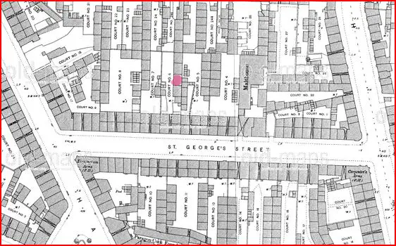
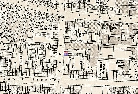
https://www.old-maps.co.uk ) which has maps going back to 1889. It takes a while to gey used to using it, and to find a map you have to know where in the UK it is, as you click on an area and can then see if a suitable map is available. With St George st this is reasonably easy as the street, though altered in its course, is still, in part, still there. Below is the relevent map with what I think is no 2 (assuming court is numbered from the access) in court 6. Here the relevent court is numbered on the map. Not all are. In that case it can usually / often be determined from directories etc where the court is, though if it disappered long before 1889 there can be problems.
Also, fine detail such as court numbers , passageway names etc are mainly only shown on the 1:500 scale maps. These are not available everyware, and only (usually) for about 1889 (the year varies for some towns other than birmingham ie for leeds it is around 1857). This is because, in general, only major towns were covered (and remember in 1889 many areas now built up were then relatively sparsely occupied), but in a few cases because the maps have gone missing. (apparently at one time the ordnance survey at southampton allowed researchers into the rooms where they were kept and some disappeared).
If you cannot find the other addresses then post again and will try and help
Mike


