lindyloo
master brummie
Hi,
Just wondering if anyone could help me please")
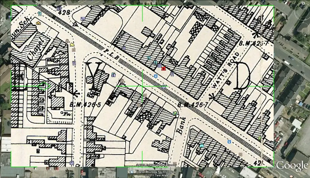
I've spent the evening trying to figure out where about on the Coventry Road, my Gt Grandad Frank Frederick Taylor and his family actually lived. I tried to work it out sometime ago and for some reason thought 408 was by Wordsworth Road/ Coventry Road Junction, but having looked again I believe I was on the wrong side of the road.
I've looked at the census description for the area ( RG 13/2865, Aston>Deritend>District 91 ) and it says "The North side of Coventry Road from Grange Road, no.378 to Muntz Street, no. 494.
I thought maybe 494 was The Malt Shovel Pub, but the census seems to indicate a school ?
Number 408 now, is Saydon Pharmacy on Google Maps, but I doubt that that was the original position of 408...
Having searched through photos on the Forum and in a book on Small Heath that I have, I'm thinking the original 408, which was just named as "Edmunds" in the 1901 census (I can't read the type of business that it was) was probably knocked down and was then part of the site occupied by the Co-op ??
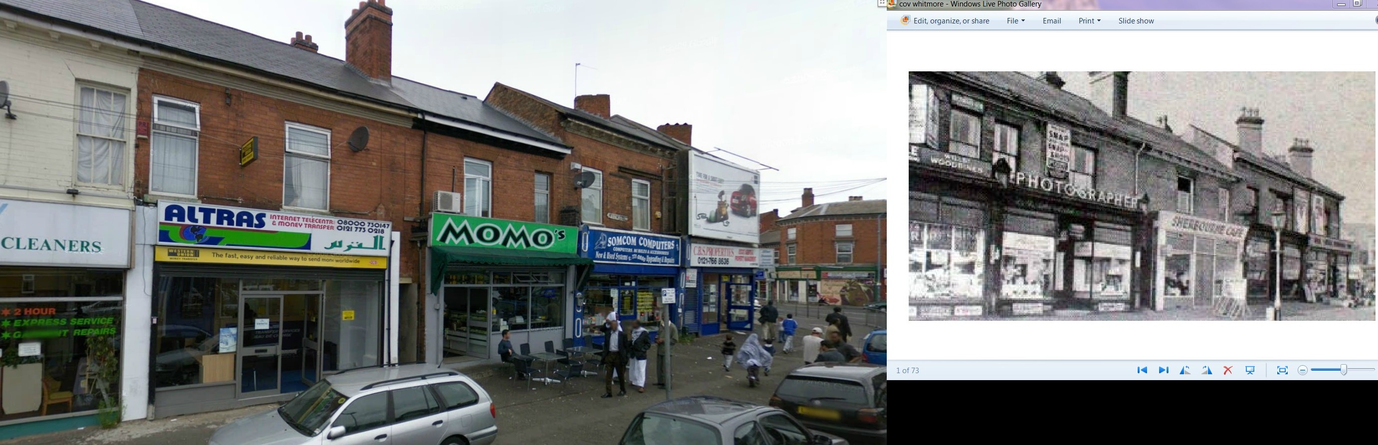
Unfortunately I have been unable to find any photographs of the actual area before the Co-op, but would really love to have an insight as to what it was like when my Great Grandparents lived there, pre Co-op days...there are photos from the junction of Grange Road/Coventry Road towards the City, but none that I can find in the opposite direction.
I have also looked at "Old Maps" but it isnt helping my plight..:stressed:
Any thoughts or help with this (and indeed any photos) will be greatly appreciated.
Thanks
Just wondering if anyone could help me please
I've spent the evening trying to figure out where about on the Coventry Road, my Gt Grandad Frank Frederick Taylor and his family actually lived. I tried to work it out sometime ago and for some reason thought 408 was by Wordsworth Road/ Coventry Road Junction, but having looked again I believe I was on the wrong side of the road.
I've looked at the census description for the area ( RG 13/2865, Aston>Deritend>District 91 ) and it says "The North side of Coventry Road from Grange Road, no.378 to Muntz Street, no. 494.
I thought maybe 494 was The Malt Shovel Pub, but the census seems to indicate a school ?
Number 408 now, is Saydon Pharmacy on Google Maps, but I doubt that that was the original position of 408...
Having searched through photos on the Forum and in a book on Small Heath that I have, I'm thinking the original 408, which was just named as "Edmunds" in the 1901 census (I can't read the type of business that it was) was probably knocked down and was then part of the site occupied by the Co-op ??
Unfortunately I have been unable to find any photographs of the actual area before the Co-op, but would really love to have an insight as to what it was like when my Great Grandparents lived there, pre Co-op days...there are photos from the junction of Grange Road/Coventry Road towards the City, but none that I can find in the opposite direction.
I have also looked at "Old Maps" but it isnt helping my plight..:stressed:
Any thoughts or help with this (and indeed any photos) will be greatly appreciated.
Thanks