• Welcome to this forum . We are a worldwide group with a common interest in Birmingham and its history. While here, please follow a few simple rules. We ask that you respect other members, thank those who have helped you and please keep your contributions on-topic with the thread.

    We do hope you enjoy your visit. BHF Admin Team

Hockley Hill

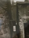
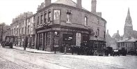
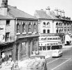
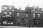
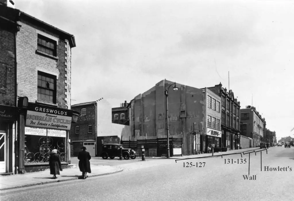
again these are new to me.....pic 1 numbers 31 to 35 dated 1961

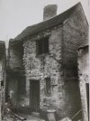
pic 2 numbers 169 to 172 dated 1961
I just discovered several generations of family (Collins) lived at 171 and 172 Hockley Hill, during the 1841 and 1851 censuses. This photo happened 100 years too late, but its still amazing to me! Thank you for sharing!
 
Hi Mike
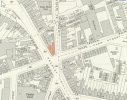
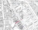
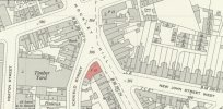
on the right of hockley hill on the map is shown metal works gas fittings would you know if this was Howlets factory, as my grandfather worked there till he retired I remember going on fishing trips with him from there by coach, but cannot remember whereabouts the building was, if anyone has a photo it would be much appreciated. edd
Worked at Howletts 1961 through to the move to Thimblemill Lane and beyond. The fishing trips would have been organised by Billy Hancox whose job seemed to be Social Secretary - he also kept the Snooker and Table Tennis Tables in tip top order. Changed times!!
 
great photos viv...i think i was doing some research on no 111 not long back but for now i just cant recall why :D :rolleyes:
Was it something to do with this thread Lyn?
 
thanks to pedro for this info and article...there maybe a map on this thread showing where no 146 was

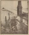
The charred ruins of a second floor workshop at Norton Brothers cabinet making works at 146 1/2 Hockley Hill, Birmingham, which was burned out in a midnight fire. Extensive damage was also done in a workshop on the ground floor. As the picture shows, the roof of the building was completely destroyed.
(Evening Despatch January 1940)


image - 2024-11-16T115830.856.jpg
 
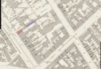
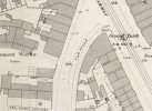
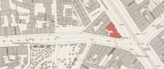
The more recent maps showing numbering are comletely different to late 1880-early 1900 maps, and there do not seem to be any maps immediately pre WW2. But have estimated where 146 was , but am not entirely certain. On the c1888 map below, I am pretty sure that the numbers in black are correct. the one in blue I am not certain of, but think it is probably no 146, but might be 145. If it is 146 I would guess 146½ would be the building in blue behind.

map 1880s showing some numbers in hockley hill.jpg
 
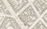
There was no renumbering. In 1881 no 185 was on the corner with Well St, occupied by John Vinrace, surgeon. In the 1950s it was a bank. On the map in the 1880s it is an open space, so presumably in the 1880s it is the building marked 185 in red

map 1880s showing numbering Hockley hill.jpg
 
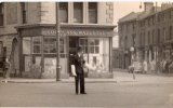
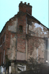
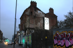
thanks mike i guessed it was large house...john vinrace is the person i am researching..the odd thing is that he also lived at bromford house at 6 ways aston and when that house went (most likely due to a fire) a bank was built on its ground..the same thing happened to his house at hockley hill...a bank was built on its ground..i wonder if the same bank built on both spaces...think it was a lloyds bank on the corner of wells st it was mom and dads bank for years...do not know what bank was on the corner of lozells road and birchfield road..st view here of where no 175 once stood..


lyn
 
Back
Top