guilbert53
master brummie
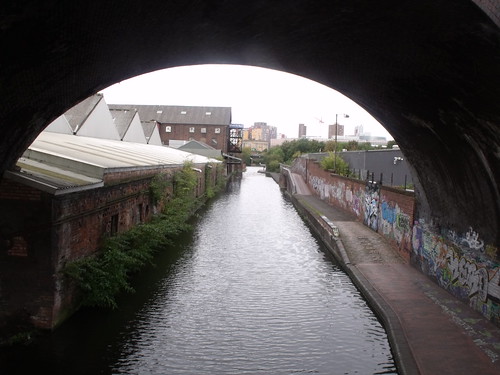
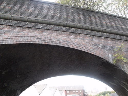
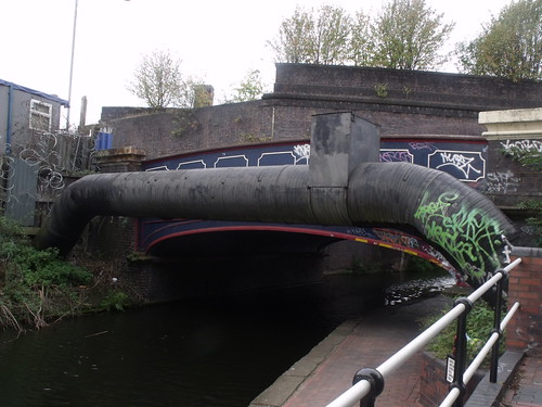
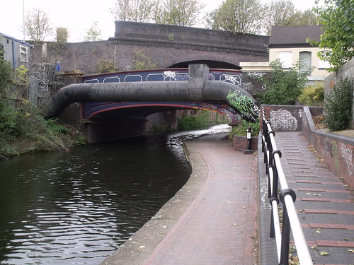
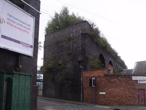
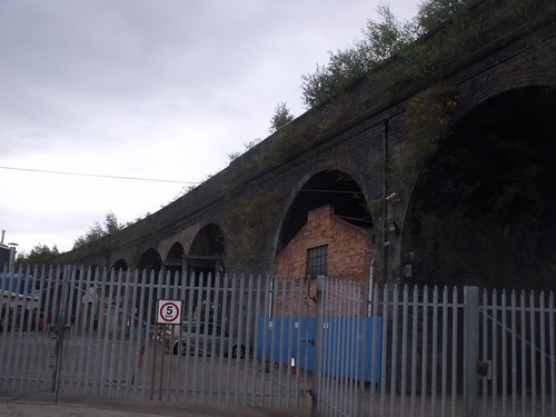
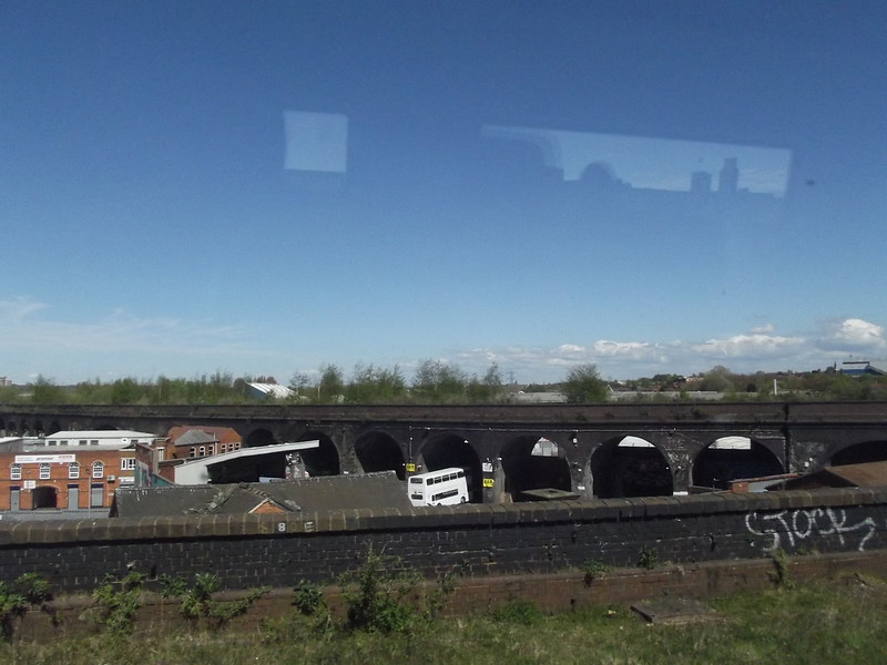
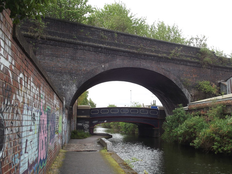
I was walking down Fazeley St in Digbeth a few weeks ago and you walk under a disused railway "arm" that comes out of the line that goes into Moor St station.
It crosses Allcock St and Liverpool St then goes over the canal, then just ends.
This is it here
https://maps.google.co.uk/maps?q=digb...h&z=17&vpsrc=6
What was this used for?
When was it discontinued?
Are there plans to do anything with it, or could it be knocked down?
Seems to serve no purpose and just "spoils" the area.