-
Welcome to this forum . We are a worldwide group with a common interest in Birmingham and its history. While here, please follow a few simple rules. We ask that you respect other members, thank those who have helped you and please keep your contributions on-topic with the thread.
We do hope you enjoy your visit. BHF Admin Team
You are using an out of date browser. It may not display this or other websites correctly.
You should upgrade or use an alternative browser.
You should upgrade or use an alternative browser.
Unknown church/chapel/whatever
- Thread starter mikejee
- Start date
Phil
Gone, but not forgotten.
Mike
I've still got no idea where it is, but if you look at 2022 to the left what looks behind an elevated railway bank there looks to be what is an empty Gasometer. This makes me think of Aston Church Rd. Do you remember another photo we had trouble with it was looking over what looked like a canal/river wall at a Gasometer and I said I thought that was Aston Church rd as well.
Its just a thought mate.
Phil
Phil
Gone, but not forgotten.
Mike
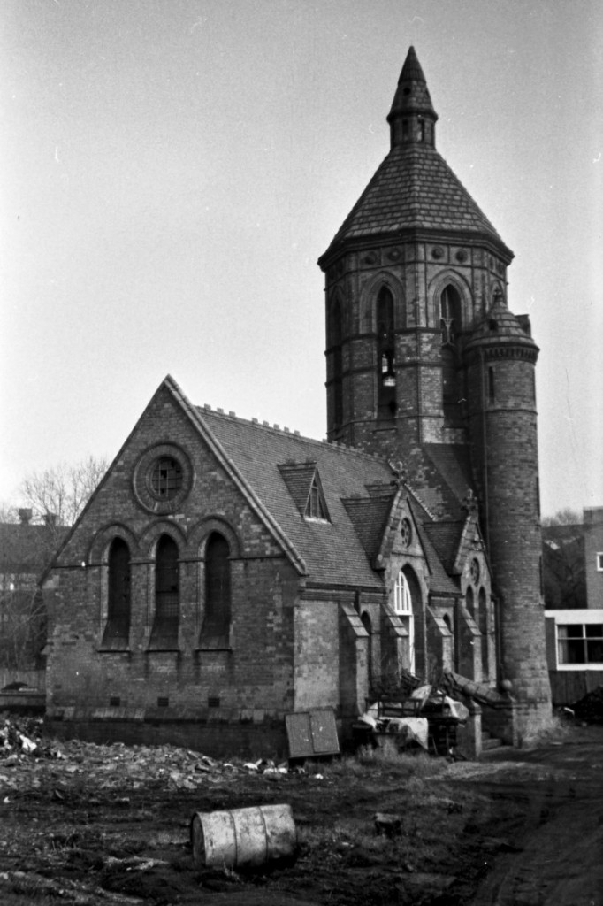
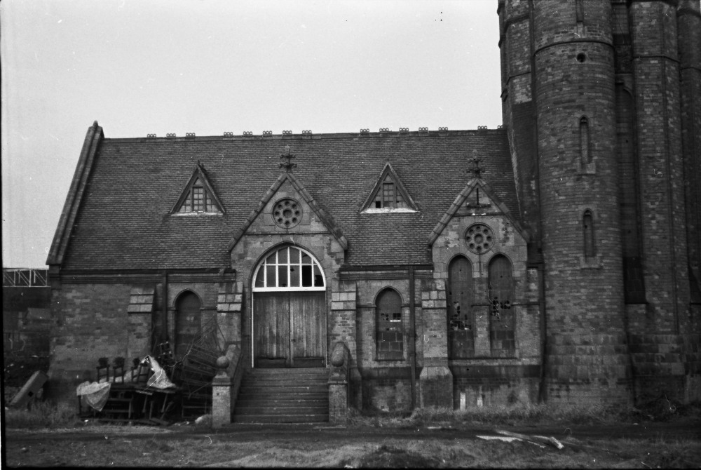
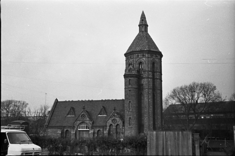
I'm not sure of the exact location but it's the Longbridge Pumping Station. You must have been a bit off your usual beaten track that day. Take a look at this Phyllis Nicklin Slide in the Keith Berry Collection.
https://www.pbase.com/beppuu/image/92490642
Phil
I'm not sure of the exact location but it's the Longbridge Pumping Station. You must have been a bit off your usual beaten track that day. Take a look at this Phyllis Nicklin Slide in the Keith Berry Collection.
https://www.pbase.com/beppuu/image/92490642
Phil
That's great Phil. You never give up do you!. I attach a map (now i know what it is) of junction of Bristol Road south and Lickey road to Rednal. I don't remember it at all, but must have passed it on the road many times. It wasn't exactly outside my territory, in that I only lived just up bristol road south, but didn't take many photos around the area.
Thanks a lot mate
From google, it looks like its a car park now
Mike
Thanks a lot mate
From google, it looks like its a car park now
Mike
C
captgreenall
Guest
Hi Mike,that looks like the old pumping station at longbridge just about the time they started to demolish it......