Hi all,
I got so many helpful replies to my first post I look forward to hearing your views on this one!
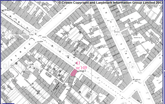
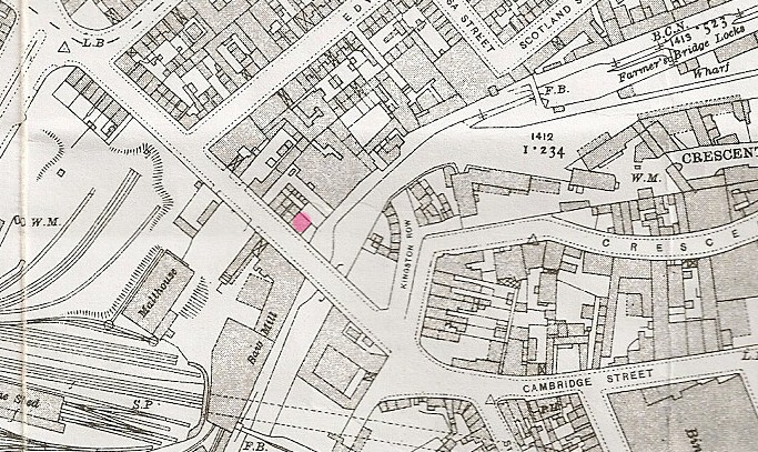
An entry in the 1851 census shows that my relative lived "back of Pear Tree Tavern, King Edwards Road." It follows the entry for those living at No. 63 King Edwards Road. I've searched this site but am unable to find such a tavern (I did find a much later Pear Tree Tavern ex The Station but not near King Edwards Road or dating back to 1851).
Can anyone shed any light?
Hopefully,
amdyhou
I got so many helpful replies to my first post I look forward to hearing your views on this one!
An entry in the 1851 census shows that my relative lived "back of Pear Tree Tavern, King Edwards Road." It follows the entry for those living at No. 63 King Edwards Road. I've searched this site but am unable to find such a tavern (I did find a much later Pear Tree Tavern ex The Station but not near King Edwards Road or dating back to 1851).
Can anyone shed any light?
Hopefully,
amdyhou