• Welcome to this forum . We are a worldwide group with a common interest in Birmingham and its history. While here, please follow a few simple rules. We ask that you respect other members, thank those who have helped you and please keep your contributions on-topic with the thread.

    We do hope you enjoy your visit. BHF Admin Team
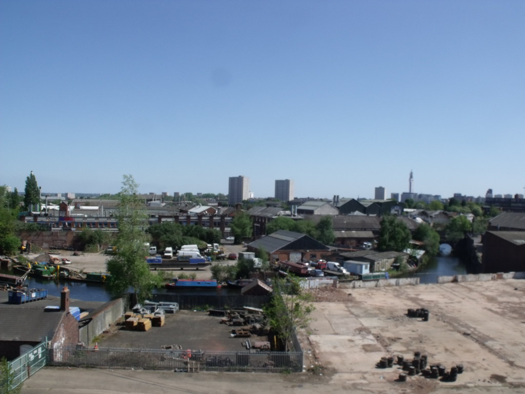
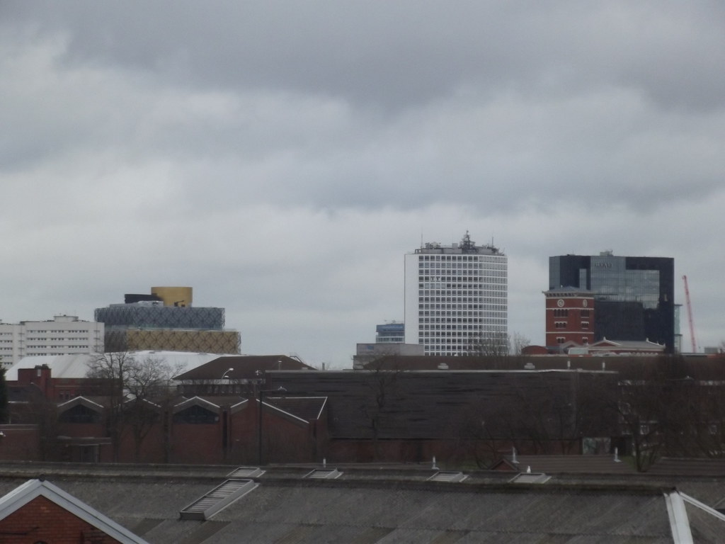
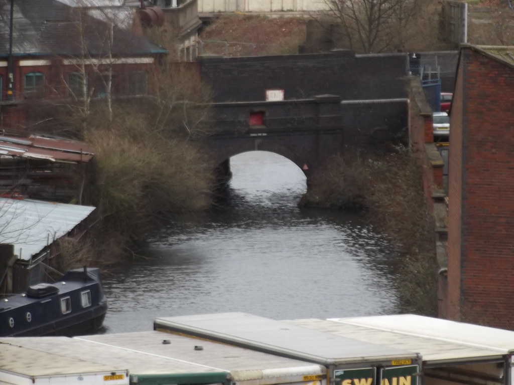
Icknield Port Loop

Web site for the project here (with maps of how it will look)


Another web site for the project here


And another web site for the project here

 
I see Matchbox City is growing in size. From an historical standpoint. The Icknield Port Loop formed the original canal as surveyed by James Brindley and under the supervision of Samuel Simcox, who is generally credited with the way the canal followed the land contours. With the canal line that is now called Icknield Port, the canal followed the brook valley up to the place where it crossed by a small aqueduct or culvert bridge and then went down the other side. It was the making of the New Main Line to the plans of Thomas Telford that led to the valley being spanned by an embankment and that work created this loop. The low lying area was gradually filled in with spoil and the Canal Company started to lease the land created for industrial purposes and over time all was topped up to the canal towpath on the embankment.
 
Back
Top