I realise many of you don't go up to the centre of Birmingham for one reason or another (such as living in other parts of the UK, or even living abroad) but still like to keep up to date with what is going on in the city.
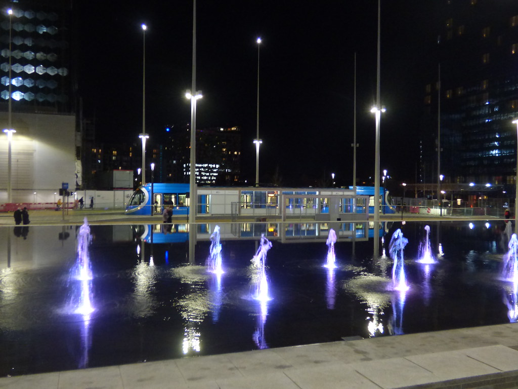
So here are a few photos showing the latest section of the tram line that has opened. This section opened in December 2019 so not really that new, but new compared with the existing tram network.
First here is a map showing the tram lines in the city centre. For those that cant work out where we are New Street station is in the bottom right (the funny round bubbles are above the shopping centre above New Street station), and Broad Street and the old Hall of Memory is on the left (the small circle).
The "old" tram line is shown in light blue on the map, this runs from Stephenson Street in the bottom left, then up Corporation Street. It then goes up Bull St (not on the map), past Snow Hill station, all the way up to Wolverhampton.
The "new" tram line is show in red on the map. This starts in Stephenson Street (outside New St station), then runs up Pinfold Street, then turns left at Victoria Square (near the numbers 1 and 2 on the map), then runs along Paradise Street, and on to Broad St. It currently finishes at that end of Broad Street but will eventually go all the way up to Five Ways and beyond.
I will explain what the number mean on the map in a moment.
View attachment 143047
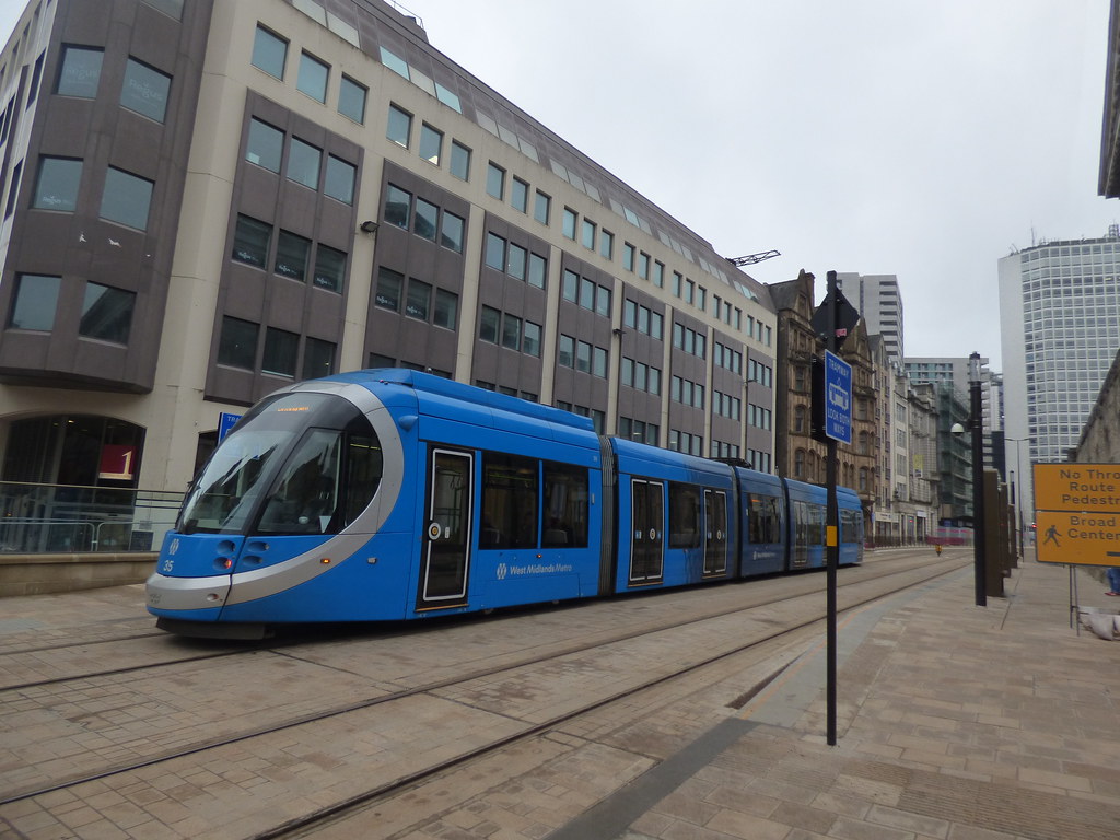
The first two photos are taken at point 1 on the map, looking down Pinfold Street. New Street is going off to the left (edge of the photo)
These photos were taken early last Sunday, a very wet morning, hence how few people are about.
View attachment 143048
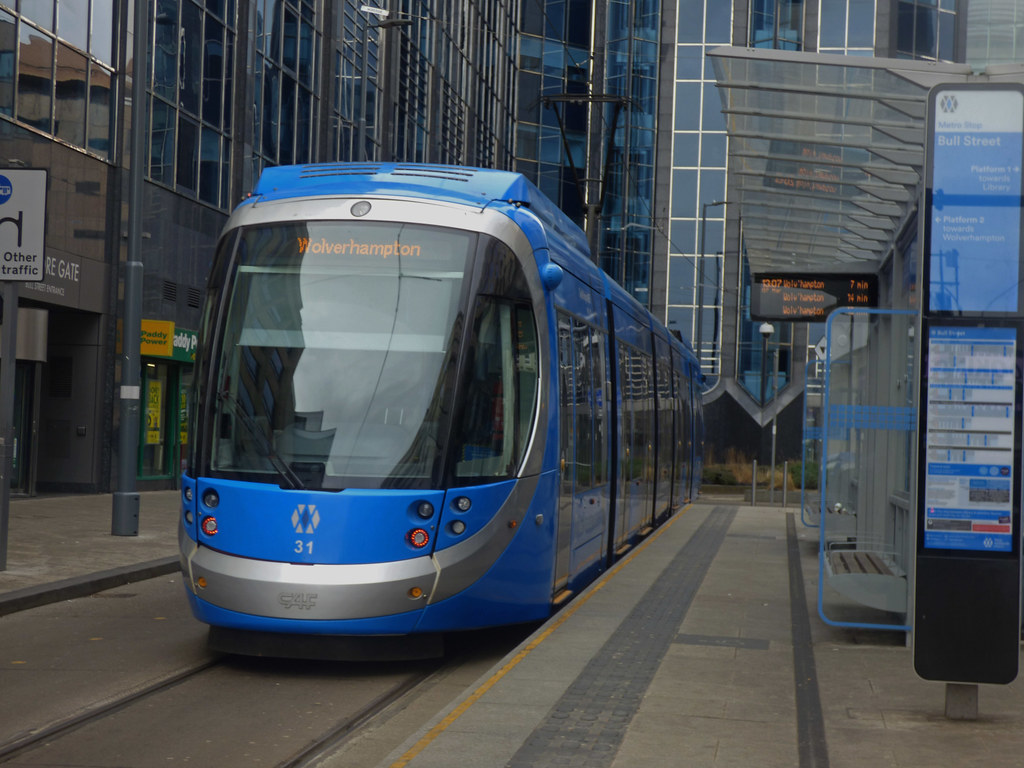
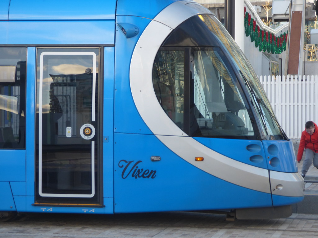
Notice there are no overhead cables on the section of the tram line (unlike much of the route to Wolverhampton). In this section the trams run on battery.
View attachment 143049
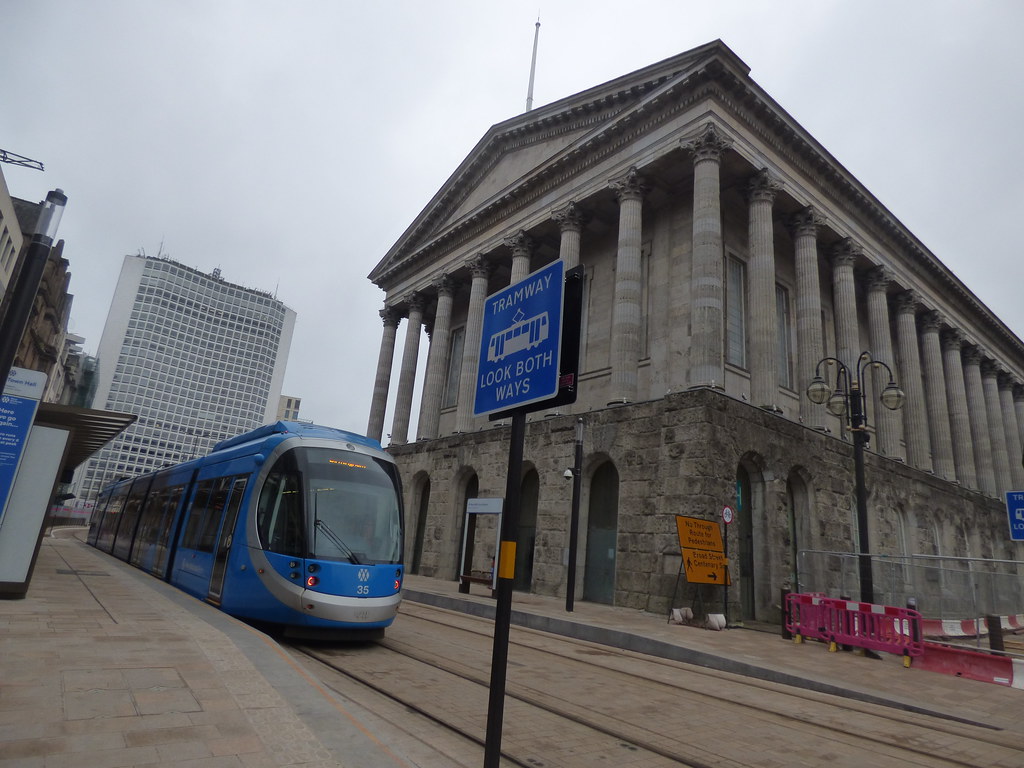
The next two photos are taken at point 2 on the map (very near point 1) I have just turned around and pointed the camera down Paradise Street.
Here you can just make out two trams passing in the distance. A bit of water on the lens, sorry about that, hard to keep it dry in the rain.
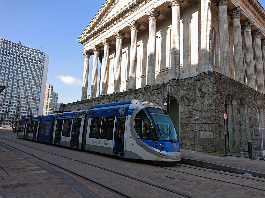
You can clearly see the Town Hall on the right, and Alpha Tower in the distance.
There is a tram stop right outside the Town Hall.
View attachment 143050
Very similar photo to the one above, I just zoomed in a bit.
You can see the tram stop a bit clearer in this photo.
View attachment 143051
The next photo is taken at point 3 on the map, at the very end of Paradise Street, but looking BACK down Paradise Street.
You can see part of the huge Paradise development on the left, and the Town Hall in the centre. You can see part of the council house (the dome) and the "Big Brum" tower behind the Town Hall.
Behind the Town Hall you can see a couple of cranes and this is building a new huge office block on Colmore Row. This replaces the old NatWest tower that was demolished a couple of years ago.
View attachment 143054
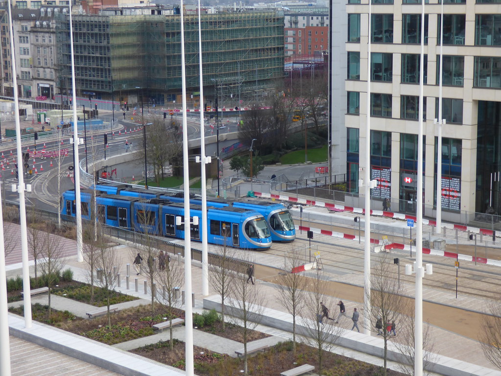
The next two photos are taken at point 3 on the map, at the very end of Paradise Street looking towards Broad Street.
Huge amount of changes in this area. You can see Alpha Tower on the left, and behind it (light brown building) the new HSBC UK Headquarters on Broad St.
You can then see the "new" library (the golden "dome" on top), then Baskervile house to the right of it.
On the very right of this photo (just off the edge of the camera) is the Paradise site where they are building a number of office blocks and a hotel.
View attachment 143052
View attachment 143053
That is the end of my little tour of the latest tram line development, hope you found it useful.
 birminghamhistory.co.uk


")