oldMohawk
gone but not forgotten
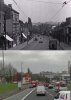
In April 1941 a row of shops in Highfield Rd Yardley Wood near the junction with Cole Valley Rd looked like this after the previous night's air raid. The building on the left with the man sitting on the roof edge above the gable end is now named the 'Ruby Garden'.
Then

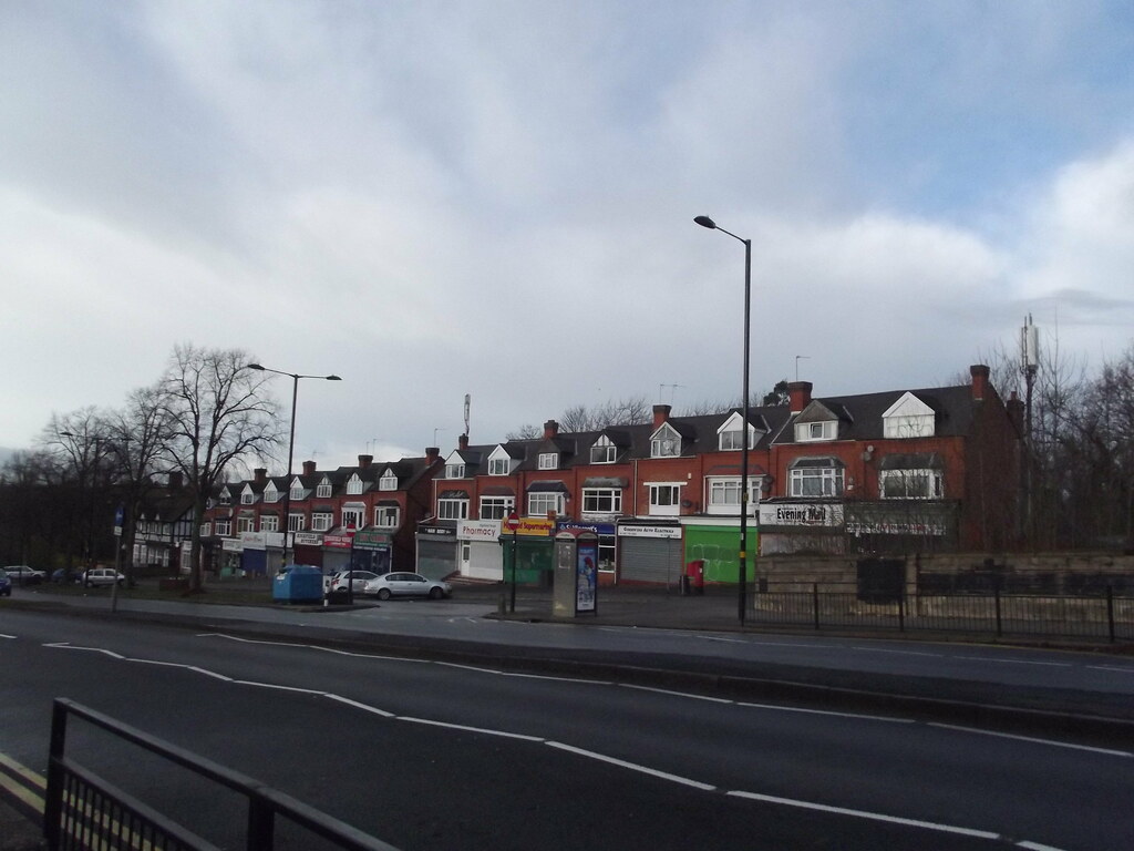
Now

https://goo.gl/maps/wPiqGUMaDbN2
Another view from 1941

Now

Then
Now
https://goo.gl/maps/wPiqGUMaDbN2
Another view from 1941
Now

")