The Sparke family lived around here in the Middle Ages, but it is debatable whether the family was named after the Spark Brook or the stream took its name from the family. As a river name it may mean 'sparkling stream', though the Old English
spearca usually refers to a fiery spark. There is another word
spearca which means 'brushwood', and the sparrow hawk is called
spear-hafoc in Anglo-Saxon,
sper-hauk Middle English.
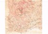
The stream runs from the Belle Walk area at the top of Stoney Lane where its source may be
Bullan Wyllan, 'Bull's Spring' mentioned as a boundary mark in the Yardley Charter of AD 972. The boundary went
on tha Langan Aec, 'to the Tall Oak' which probably stood at the junction of Stoney Lane and Walford Road, and then to
Mundes Dene, 'Mund's Valley' following the Spark Brook to the River Cole confluence north of Tyseley Industrial Estate in Seeleys Road at the east end of the Ackers Sports Centre.
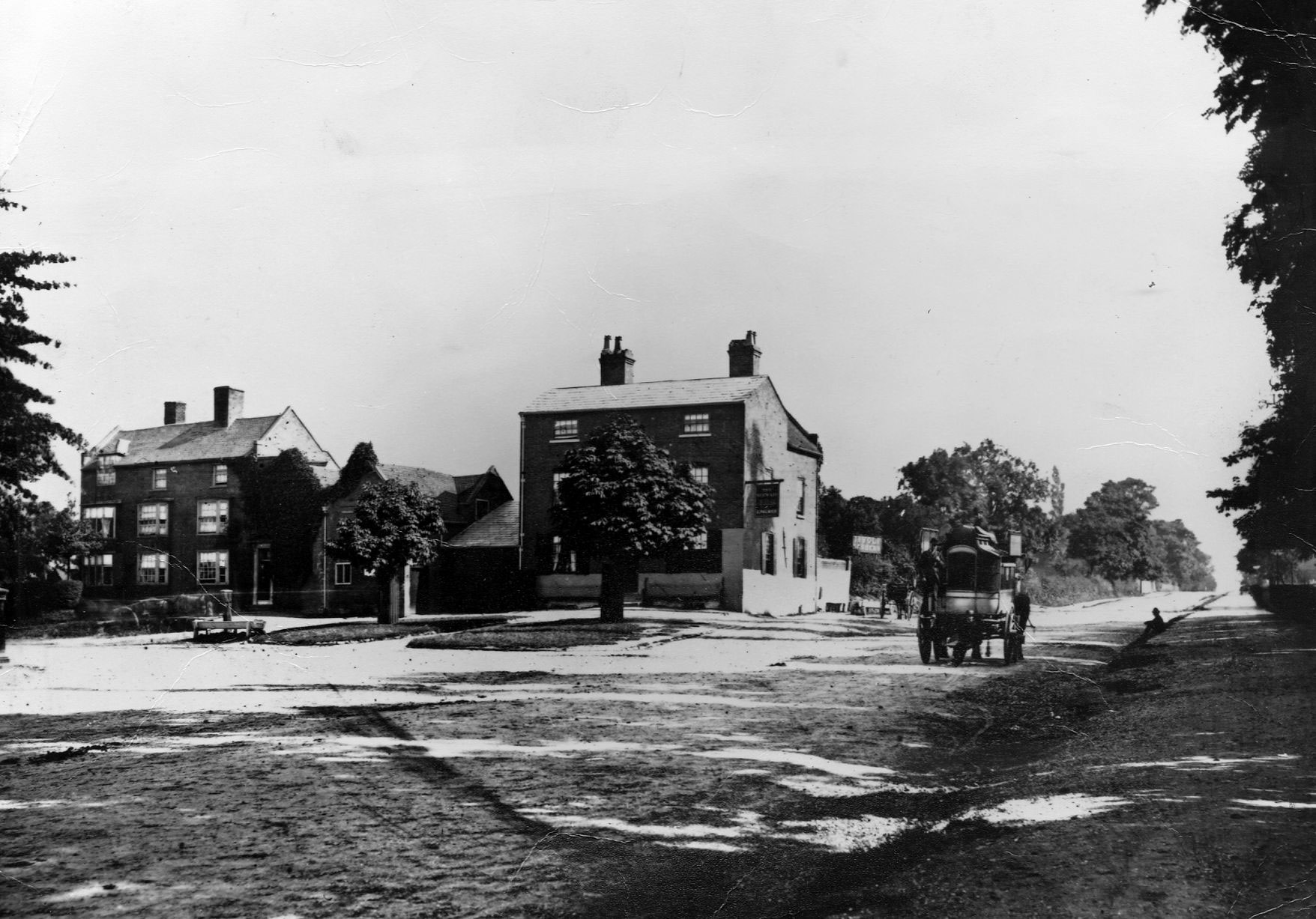
South-eastwards from Camp Hill the district of Sparkbrook straddles the Stratford Road as far as the junction with the Warwick Road. The Sparke family lived around here in the Middle Ages, but it is debatable whether the family was named after the Spark Brook or the stream took its name from the...

billdargue.jimdofree.com