B
BernardR
Guest
The Church was close to where my ancestors John and Thomas Gill had their home and Sword making premises. Demolished the year I was born - no link by the way.
 -----
----- -----
-----
This is showing an attatchment No. but not an image. If others can't see it I will re-post it.View attachment 785271958.
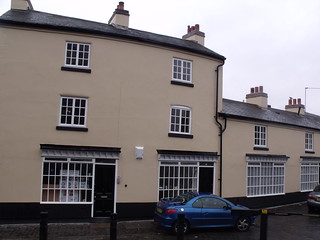
Jean, re. your #358, the Flapper & Firkin, formerly The Longboat now occupies this site near Cambridge Street.
 ---
---
View attachment 78573---View attachment 78574
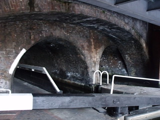
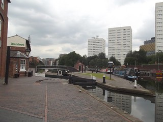
These two are in close proximity to Farmers Bridge Locks.

View attachment 79302
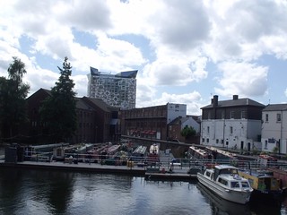
Worcester Wharf Birminghan, but I do not know exactly where.
 1959.-----
Astonian & Morturn, hello both, picture No.1 is said to be Farmers Bridge, just why it has that name I di not know. The second picture is from 1954 and is on the opposite side of the canal to the old Longboat pub site which was near to Camebridge Street. Farmers locks, as I understand it took the canal to a lower level somewhere near to Newhall Street.
View attachment 78573---View attachment 78574
These two are in close proximity to Farmers Bridge Locks.
.jpg")
.jpg")
.jpg")
.jpg")