I have a different photo of a similar scene, but different, titled "Bournville girls leaving cycle house" Not sure exactly where it was , but would be somewhere on what I knew as the girls grounds, opposite the factory on Bournville lane rounds, opposite the factory on Bournville lane
rounds, opposite the factory on Bournville lane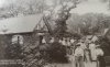


")


