The lock keeper's house is pointed to by the
red arrow.
The modern satellite view of the same area looks like this:-
View attachment 150830
with the Network Park Industrial Estate replacing the Gas Works. Here are two Google view of lock keeper's house from the canal side:-
[
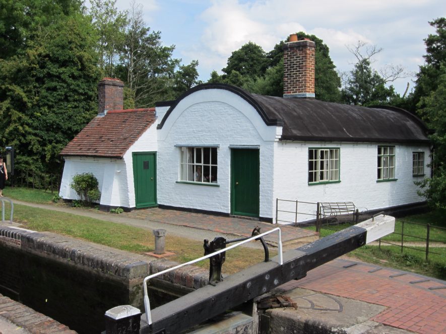
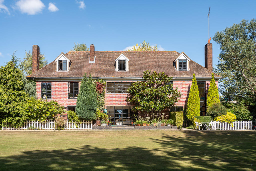
and the next from Crawford Street where it is known as 70 Crawford Street:-
View attachment 150832
It's now a freehold 3-bedroom property, though one bedroom is only 8ft x 7 ft, was last sold in 2004 for £139,000, and offered for sale in 2018, but not sold, for £135,000. The Zoopla site has all the details here:-
and if you move to Image History further down the page there are images both inside and outside.
Maurice


.jpg")


