-
Welcome to this forum . We are a worldwide group with a common interest in Birmingham and its history. While here, please follow a few simple rules. We ask that you respect other members, thank those who have helped you and please keep your contributions on-topic with the thread.
We do hope you enjoy your visit. BHF Admin Team -
HI folks the server that hosts the site completely died including the Hdd's and backups.
Luckily i create an offsite backup once a week! this has now been restored so we have lost a few days posts.
im still fixing things at the moment so bear with me and im still working on all images 90% are fine the others im working on now
we are now using a backup solution
You are using an out of date browser. It may not display this or other websites correctly.
You should upgrade or use an alternative browser.
You should upgrade or use an alternative browser.


Dave Bath
master brummie
Thanks from me too Mike.
You are "spot on" as now I see it was the last 'entry' between nos. 26 & 28 that were back to back (1/28 & 2/26) with other houses at the top of the yard. My maternal grandparents lived in one of them (no.3/26), George and Alice Bunford.
No chance of finding no. 26 Lyn, it was buried under the Dartmouth Circle. However, there is still a short piece of that end of the street, now a cul-de-sac (the last time I was there in 2004 there was).
Mike, your map showed me what I knew but didn't remember. Thanks again.
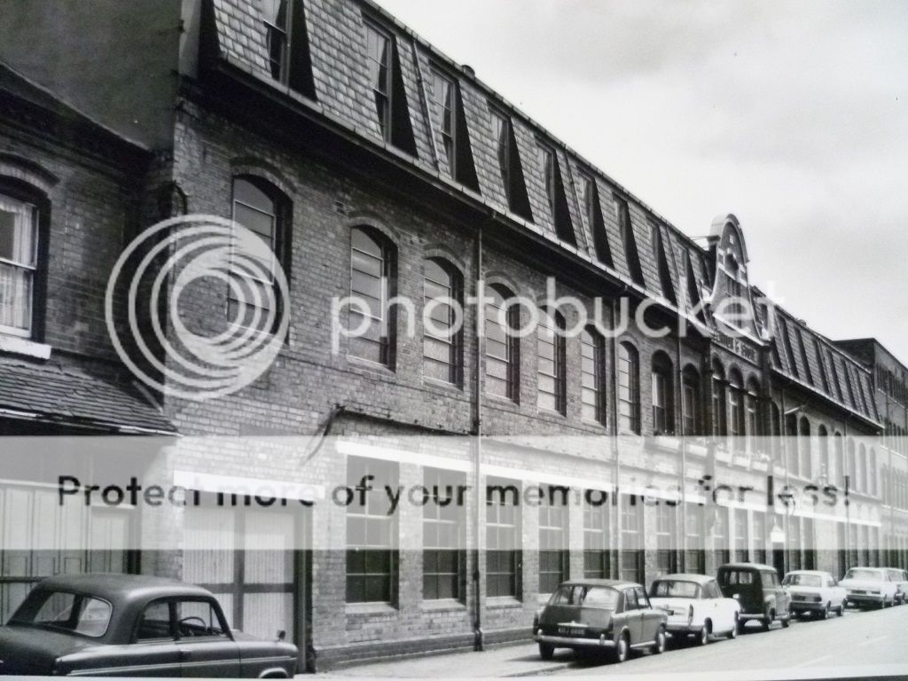
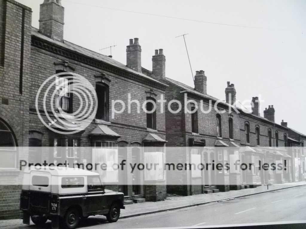
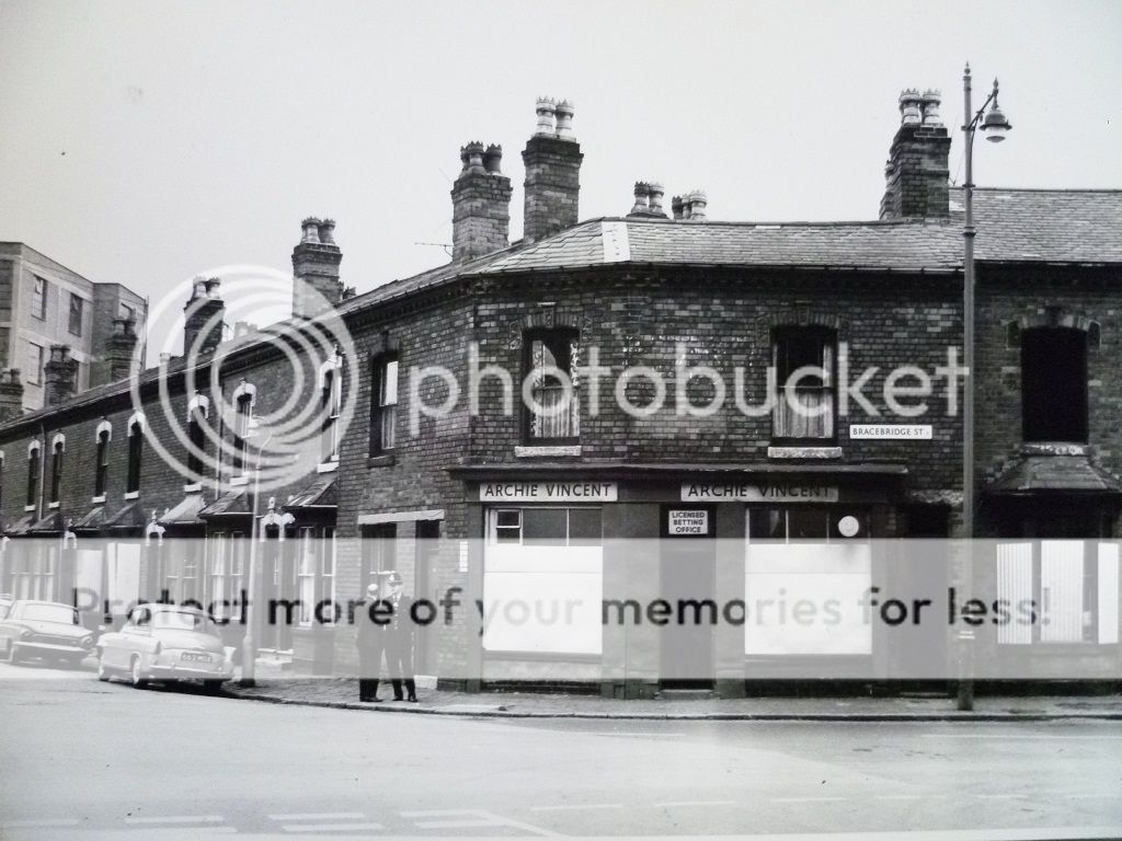
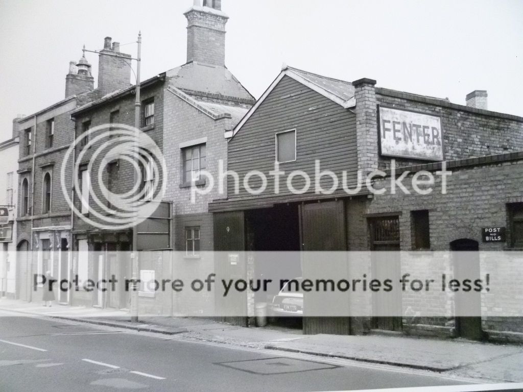
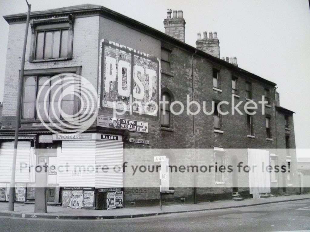
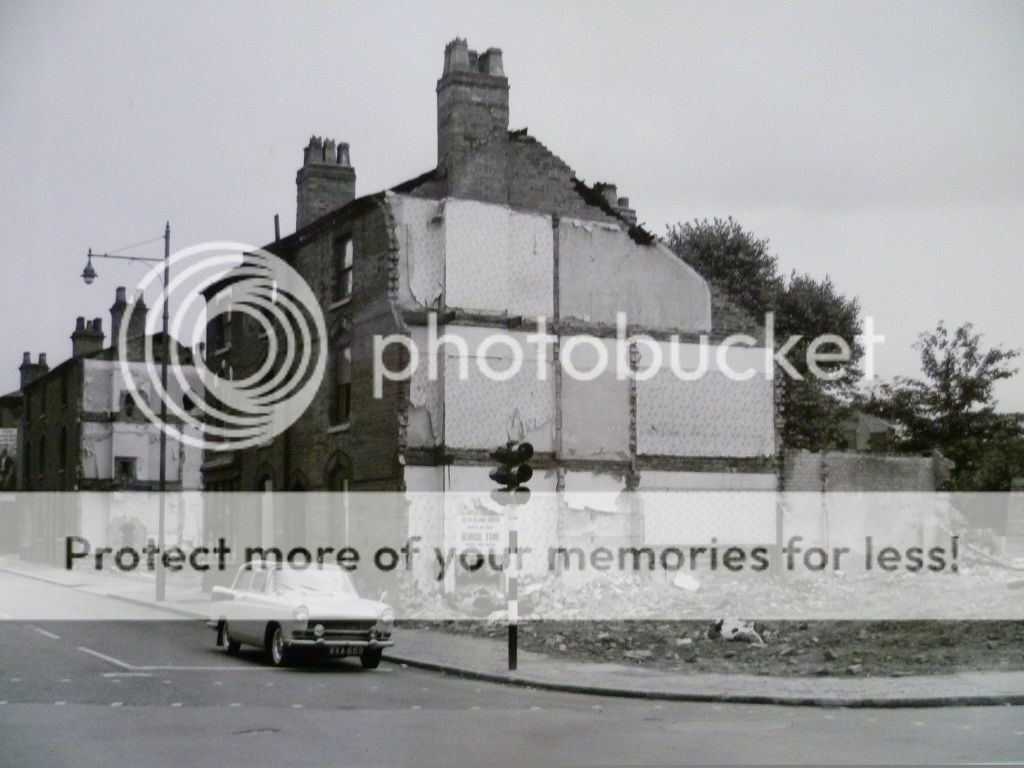
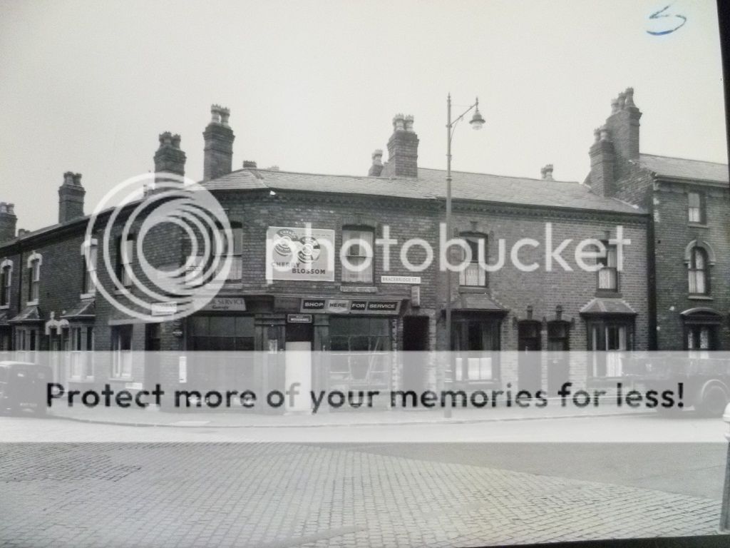
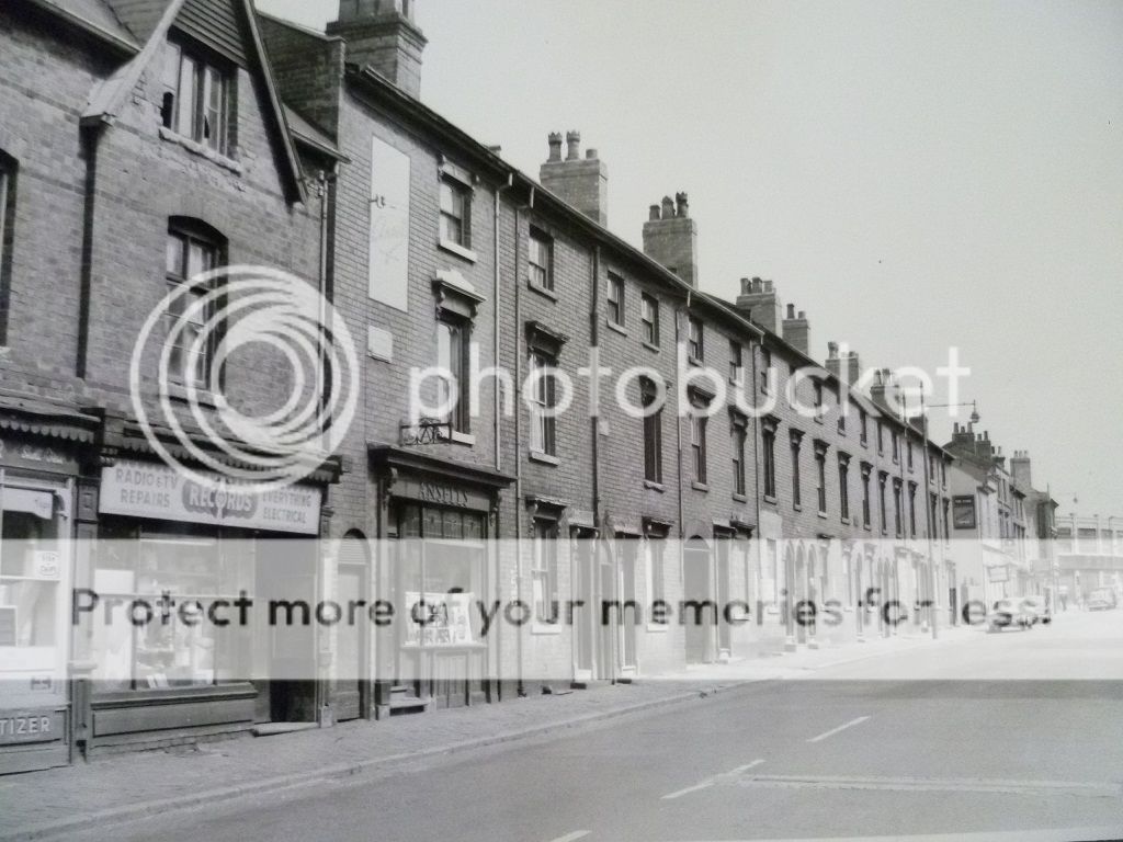
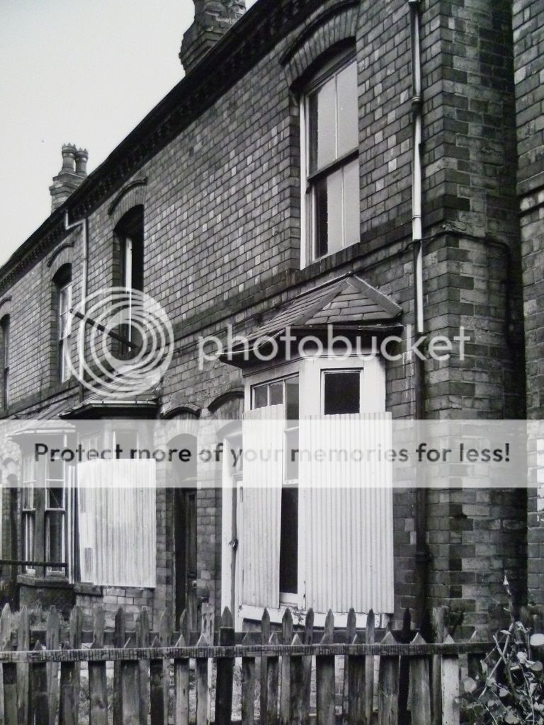
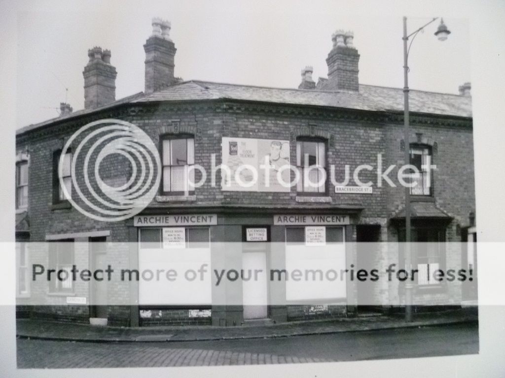
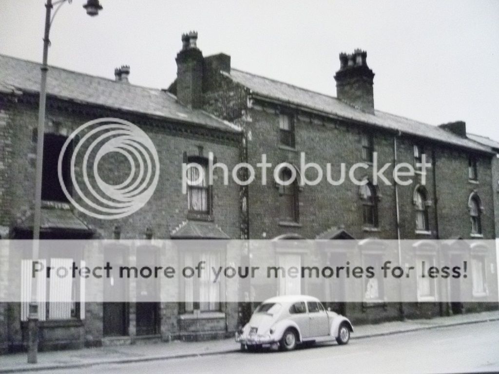
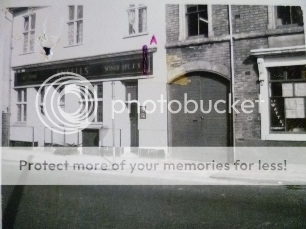
hi dave i made an appointment to go to the library this morning to view any pics they have in the public works dept section...would have been pleased to get a couple but i got more than i bargained for..i think maybe 3 or 4 we have seen before but i may as well post them all...think there is 19 in all....more than happy with how they turned out as taking pics of pics in such bad light is not easy me not being an expert...i was going to print these off and give them to you when we meet up but a month is a long time to wait lol...hope these are ok for you and everyone who lived in the street and hope there are a few new pics amonst them...some of the pics had the numbers of the st down but if you think they maybe wrong just let me know..
when time permits could i have this thread moved to the streets and neighbours section please..thank you....
lyn
when time permits could i have this thread moved to the streets and neighbours section please..thank you....
lyn
Last edited:
Michael_Ingram
gone but not forgotten
Mike, can you help? In the late 50s I used to meet a friend from work and walk her home. On the way to meet her I would pass the Norton in Bracebridge Street on my left. She worked further down in the office of a factory(?) further down on the right. Any suggestions please?
hi stars as ever no thanks needed but thank you anyway....didnt need to use my scanner for these as i had to take pics of the pics at the library so just uploaded them from my camera..resized and posted them..will have a look at that other thread you mentioned after dinner...
lyn
lyn
Michael_Ingram
gone but not forgotten
Many thanks for trying Mike. It was a long time ago. It may have been a bit further on in Dartmouth Street
Many thanks for trying Mike. It was a long time ago. It may have been a bit further on in Dartmouth Street
hi mike..when dave logs on he maybe able to offer up some ideas as he knows round that way pretty well..i can only recall visiting and staying overnight at my cousins at no 71...must have walked past the norton factory hundreds of times...
lyn
Michael_Ingram
gone but not forgotten
Many thanks Lyn.
ps I have posted some Paddington St stuff
https://birminghamhistory.co.uk/forum/showthread.php?t=11171&page=4&p=465047&posted=1#post465047
ps I have posted some Paddington St stuff
https://birminghamhistory.co.uk/forum/showthread.php?t=11171&page=4&p=465047&posted=1#post465047
Michael_Ingram
gone but not forgotten
pss The link takes you to 1960, the previous post is 55/6
sistersue61
master brummie
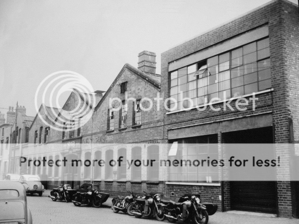
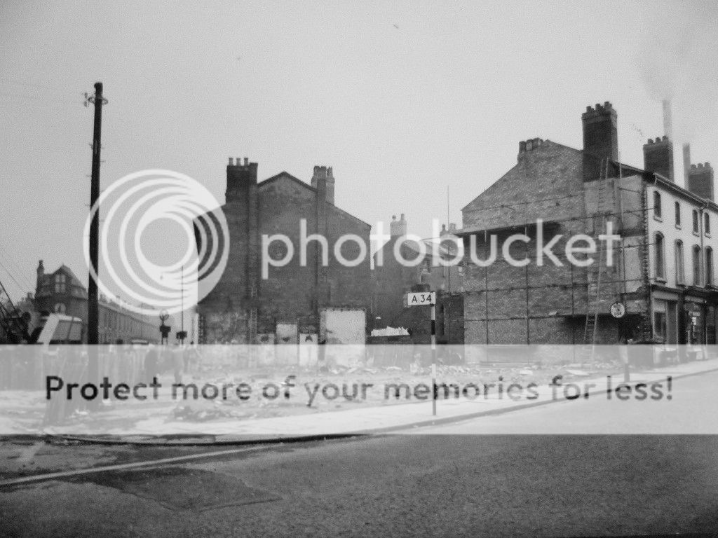
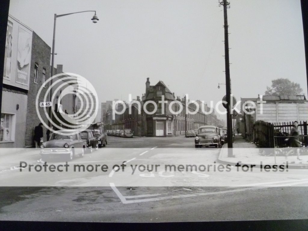
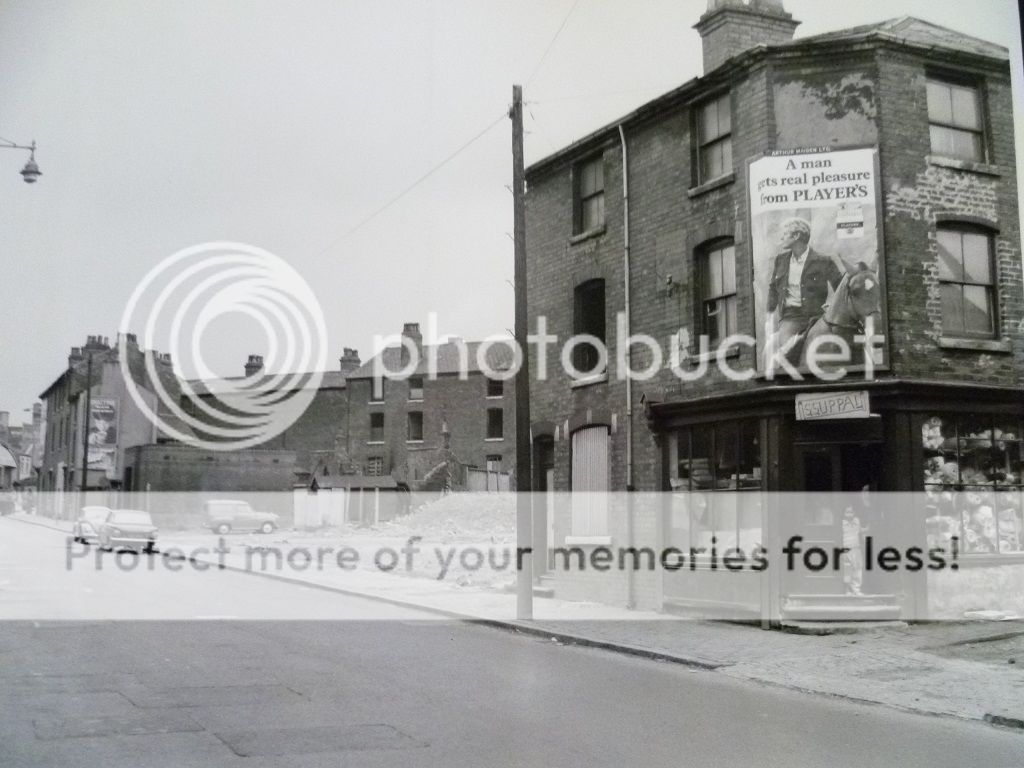
Lyn the pics are great, are the markers with numbers on A34, A45, referring to the road numbers so would they be the Stratford and Coventry road signs? Or are they nothing to do with that, I'm not familiar with the area, so not sure if the roads are withinn the area, if that makes sense lol -post 10 2nd pic and post 13
Sue
Sue
Last edited:
Lyn the pics are great, are the markers with numbers on A34, A45, referring to the road numbers so would they be the Stratford and Coventry road signs? Or are they nothing to do with that, I'm not familiar with the area, so not sure if the roads are withinn the area, if that makes sense lol -post 10 2nd pic and post 13
Sue
now you are asking a non driver sue lol so i cant help with that one..bet someone will soon put us right on those road signs..
Sistersue, as a road haulage driver throughout the UK from the 1970s to 1990s can i get as near as possible with an explanation?
In modern times, the A34 'A' road ran from Southampton, via Stratford and Brimingham to Cannock, Stafford and ultimately Manchester. The A45 ran from Cambridge via Coventry to Birminghamand stops there (I think).
Therefore Lynn's pictures show the old Aston bit from the City Centre to Cannock and Manchester (A34) and City Centre to Coventry etc (A45).
However, if the sign has a black and white striped border then you are not actually on the road itself, but its nearest equivalent. The stripes will stop when you get on the real A road.
I'm a bit confused with the A45 sign in Aston rather than in Yardley, which the Coventry Road comprises. Maybe the bus drivers on here can get it just that bit more exact for you.
Richie.
sistersue61
master brummie
Thanks Richie,I didn't know about the borders on the signs before, but have to confess, the Stratford Road I could see, but like you say the Cov is way away from the area - like you say unless the bussies or someone else knows better, dad thought the Cov finished at Digbeth.
There you go Lyn, more info.
Sue
There you go Lyn, more info.
Sue